Data processing and analysis for water quality in GIS | Hands-on training
Aims
The primary objective of the training "Data processing and analysis for water quality in GIS" is to provide hands on and practical information about data processing and analysis techniques for water quality assessments. The focus will be on utilizing spatial data within the context of water quality assessments, using the open-source software tool QGIS. The training covers essential topics ranging from GIS fundamentals and mapping techniques to utilizing digital elevation models and catchment analysis. The analysis of socio-economic and physiographic catchment characteristics, and the mapping of drivers and pressures on water quality are explored. Overall, participants will gain practical expertise in spatial data analysis for comprehensive water quality assessments.Technical requirements
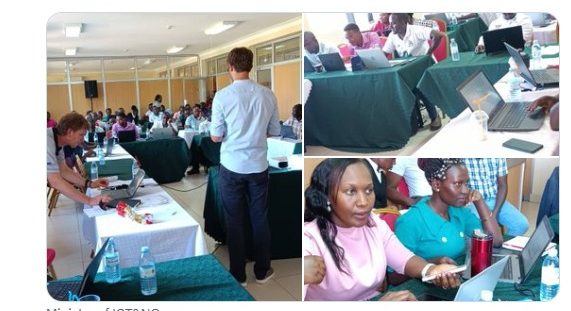
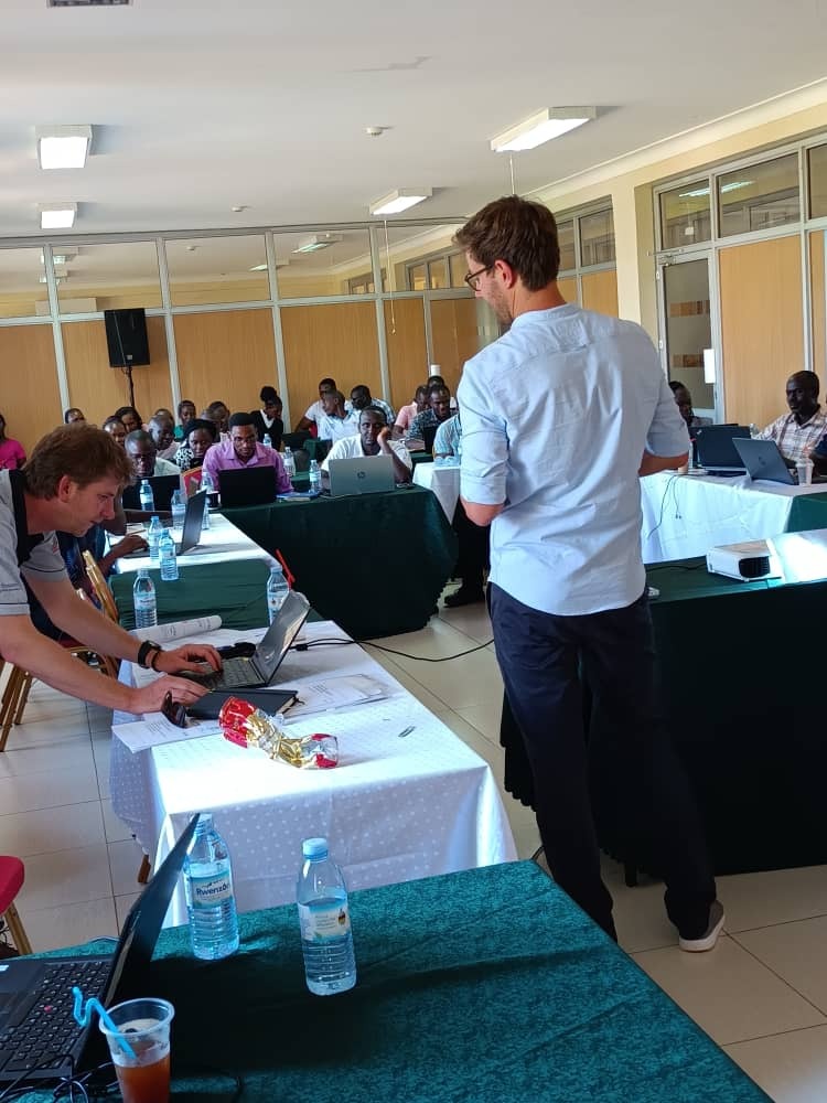
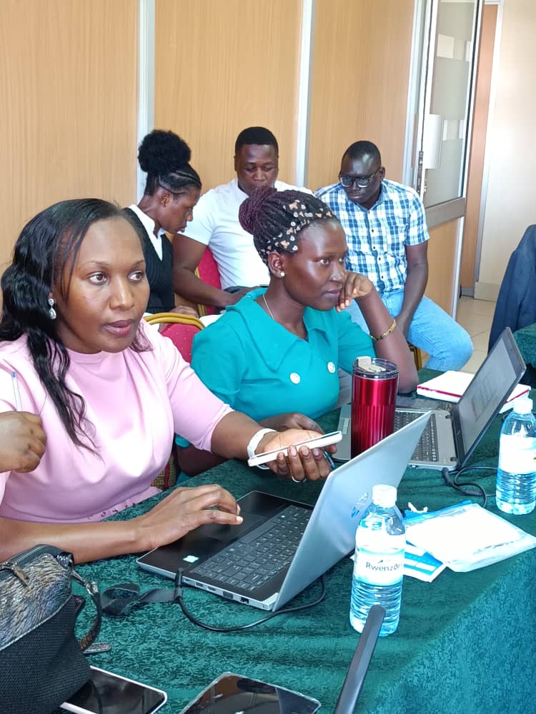
The workshop was hands-on, meaning that participants were actively engage with the software tools and techniques being taught. To facilitate this, participants brought their own notebooks (laptops) to follow along with the course content. Prior to the training, participants were requested to download and install QGISThis was two days training conducted with experts from the university Boku and IASA


